skip to main |
skip to sidebar
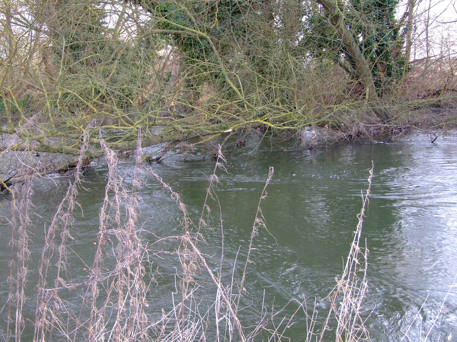
No tags or comments, just a selection of photo's from the upper and middle River Kennet running downstream from West Kennett to Hamstead Mill on Sunday.
With the River Kennet uncharacteristically maintaining above average levels, there are a few places where some of the normal restrictions on paddling have been temporarily suspended, providing a brief window of opportunity to experience a small change of tempo from the comparatively predictable experience of the Navigation's cut sections.
The Fobney Island Wetland Nature Reserve still has some way to go before it fulfils its potential as an easily accessible conservation and wildlife haven just minutes from the center of Reading, but it's already demonstrating its ability to respond as a repository of increasingly unpredictable rain fall and river flow rates.
The temporary map at the eastern entrance to the reserve indicates the expectation that the reserve will normally maintain refuge level pools to benefit a range of fauna and flora. Not a great photo, so the text reads as follows:
"In 2011 the Environment Agency, Reading Borough Council, Thames Water and the Thames Rivers Trust worked in partnership to improve Fobney Island for wildlife and for nature-based recreation. The Berkshire Ornithological Club and the Reading and District Angling Association provided specialist advice throughout the project. Previously the site was ecologically poor rough grassland. Now, it is a mosaic of wetland, wildflower meadow, hay meadow and reed bed habitats.
The first phase of the project lowered the land to create wetland features that, at certain times of the year, will be in connection with the River Kennet to the south of the island. This has improved the site for birds, bats, fish, reptiles and amphibians.
During spring 2012 scrub planting and grass and wildflower seeding was done to further improve the site for wildlife.
The site is divided roughly into two sections. The Eastern Wetland features (closest to Fobney Lock) were designed to be in connection with the groundwater and should remain 'wetted' for most of the year. In contrast, the Western wetland scrapes (towards the pylon) were formed to be in connection with the river in periods of high flow but then slowly to drain down during the spring and summer. These scrapes are expected to be temporary or 'ephemeral' features because they are reliant on surface water. When the river is in flood, they provide a vital temporary refuge for fish.
The river has also been restored to a more natural state through the introduction of two new riffle features - areas of shallow gravel that provide ideal spawning grounds for fish such as chub, dace and barbel.
On the south bank of the river, lifting and thinning the crowns of the trees has let more light into the river channel. This helps plant species to become established. Five trees have been dropped into the river channel to create 'woody debris' features which create more diverse flows within the river.
A new footpath has also been installed to create easy public access to the Eastern Wetland site, and two bird hides provide views across the new wetland features. There is no public access to most of the Western Wetland, to ensure undisturbed protection of wildlife.
DOG WALKERS are welcome anywhere on the Eastern Wetland, but are asked not to allow dogs to cross into the Western Wetland at any time. A dog bin is provided at the entrance near Fobney Lock.
PLEASE KEEP THE SITE CLEAR OF ALL LITTER, which can be very harmful to wildlife.
THE FRIENDS OF FOBNEY ISLAND is a group of volunteers who help to maintain, monitor and consult on the use of this site. If you are interested in joining the Friends group, or helping with volunteer tasks, please call reading Borough Council's Parks Department on 0800 626540. Please use the same number to report incidents."
Although it's not explicitly stated, there are several pieces of information contained in the above sign text which will help you judge whether to paddle down this section, but the two key factors are water levels and the time of year. A few pictures + a little knowledge should help with the decision.
The remodelling of Fobney Island didn't include a canoe pass past the sawtooth weir but, as you portage past, the volume of water flowing over and the remaining height down to the new river level gives a good indication of whether it's good to go.
Comparative low flow (from June 2010) and high flow (from January 2013) at Fobney Weir's saw teeth.
Comparative low flow (from November 2011) and high flow (from January 2013) looking back up to Fobney Weir from the right bank put-in.
Comparative low level (from June 2010) and high level (from January 2013) bank heights at the put-in river right below Fobney Weir.
Comparative low levels (from June 2010) and high levels (from January 2013) of the River Kennet viewed from the footbridge at Fobney Weir.
Comparative low levels (from June 2010) and high levels (from January 2013) of the River Kennet viewed looking downstream of Fobney Weir pool, left bank above the top of the Western Wetland.
The above images should provide a fairly easy indication of whether there's sufficient water to paddle without scraping the bottom, particularly now that the riverine section below the weir pool the river has been remodelled with "two new riffle features - areas of shallow gravel that provide ideal spawning grounds for fish such as chub, dace and barbel."
Dace will start spawning from early March in cold, shallow water when they congregate over gravel that is just sufficiently under water to cover them. Once their eggs are fertilised they take about three weeks to hatch because of the lower water temperature. Chub are similar in their spawning behaviour to Dace, but they don't get it on until somewhere between the start of May and mid-June, so their eggs only take about 3 days to hatch in the warmer water. Barbel don't tend to spawn until between May till July. However, whilst the eggs hatch within a week, the young Barbel continue living within the gravel for several weeks.
What this essentially means for paddlers is that if there's not sufficient clearance with the river bed between March and August, the canalised cut is the best bypass route downstream. This might seem frustrating when the riverine route is free of anglers between the mid-March and mid-June closed coarse fishing season, but the upside is that if there is sufficient water to make the run without environmental harm there's a good chance that it will have driven the fishing folk onto the canal.
At times when both paddlers and anglers can use the river together, note that most fishing just below the weir will be from the left bank - even at intermediate levels the pool should be wide enough to avoid entanglement with lines - whilst once onto the narrower river section anglers now fish from the right bank and may be hidden by the trees. If you spot a line or camo clothing at such times, normal river etiquette applies.
Once onto the river channel, beware the "five trees [that] have been dropped into the river channel to create 'woody debris' features which create more diverse flows within the river", and keep in mind that during high flows additional hazardous debris may have washed down and the number of tree 'falls' may have increased. Keeping river left should help with safer navigation.
A potential strainer shown at high water levels on the River Kennet south of Fobney Island.
A couple of final pictures serve to demonstrate what high water levels at Fobney Island currently look like.
The view looking upstream, and west towards the flooded Western Wetland, from the unsurfaced public footpath by the riverine section of the Kennet on the Eastern Wetland section. The river runs alongside the tree line; the ingress of water into the flooded relief pools should not be paddled. Does that pylon have a problem?
The gauge below Fobney Lock reflects what's coming down the canal cut and the riverine course. Note that the disappearance of the mooring platform by the old pumping station is a good sign that paddling levels are good.
Whether using the Kennet Navigation as the means of a circular route around, or simply as access to the Chamberhouse loop, the canalised and riverine run down the Kennet between Newbury and Thatcham has started 2013 at an unusually high level.
The convergence of the river section that flows down from Hambridge to join the cut at Bull's Lock normally demonstrates reasonably consistent levels, but the current height of the water may create a few unexpected minor changes of plan for paddlers.
Typical gauge readings at the tow path footbridge below Bull's Lock...
...are not matched by current conditions. The river is approximately .5m higher than normal.
If you were to put in on the section of the river upstream of the footbridge (which appears to have had many of the former tree falls cleared recently, should you be paddling down from Hambridge)...
...you would quickly be faced with limboing under the bridge in the relatively fast flowing water (viewed here from downstream of the bridge on the flooded far bank of the lock exit).
It's probably therefore currently easier to just put in directly after the bridge and below the lock.
The current flow rates will enable a quick journey down to the weir marking the start of the Chamberhouse loop (river right just before Widmead Lock), but please be aware that this riverine section is currently substantially higher and broader than might normally be anticipated.
The Chamberhouse loop has flowed out of its banks around the footbridge at SU 511 657. The bridge, which appears to have suffered damage from a tree-strike, is passable river right.
The drainage channels that run to the north of the loop (river left) have also inundated swathes of surrounding land and merged with the river (in the foreground at the bottom of the southern Kennet Valley escarpment) before reaching Chamberhouse Farm.
The river is just about back in its banks by the time it reaches the bridge at Chamberhouse Farm, viewed here looking upstream...
...and downstream.
The return channel from the river to the canal cut near Thatcham station from below Monkey Marsh Lock.
For anyone wishing to return upstream to Newbury/make a circular route by use of the canal cut, portaging at Monkey Marsh Lock, Monkey Marsh bridge (not enough room to get under it) and Widmead Lock is currently very easy as the Navigation is also extremely high.