A quick recce along the Upper Kennet yesterday revealed that the river remains dry from the traditionally cited source at Swallowhead Spring for approximately 6km (3.8 miles) to beyond Lockeridge.
This stretch would not normally be deep enough for paddling outside extraordinary conditions, but there's not even the chance of getting your toes wet at the moment, despite the relatively wet preceding week.
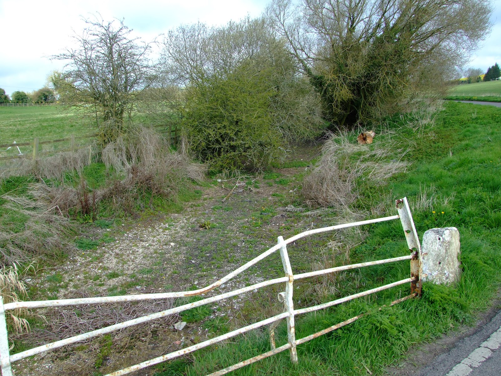
 Looking back 'upstream' from below the Gunsite Road bridge, April-2012.
 Looking back upstream from the road bridge into East Kennett, April 2012.
 Looking back upstream from below the bridge near East Kennett Manor, April 2012. This location (SU 119 676) was not pictured in the original list of locations from which the public can view the river in the Upper Kennet guide.
 Looking downstream from above the footbridge at SU 125 680. This spot was omitted in the original list of locations from which the public can view the river in the Upper Kennet guide. Just walk down Frog Lane in Overton, heading north towards the A4.
 As the river bed exits Lockeridge House the watercourse is currently dry...
 ...but talking to a local lady resident I was assured water was flowing just a few hundred meters downstream. She was, of course, correct, but what might look like a reasonable seasonal flow is actually an almost stagnant trickle. The upper River Kennet is in serious trouble.
This stretch would not normally be deep enough for paddling outside extraordinary conditions, but there's not even the chance of getting your toes wet at the moment, despite the relatively wet preceding week.