At 15:07 today the Environment Agency's website flood warning status for the River Kennet and its tributaries from Berwick Bassett down to Newbury stated
"The river and flooding forecast is as follows: River levels on the River Kennet have now fallen and the river remains in its banks in all locations. The river remains sensitive to further rainfall. This may cause the river to spill out into the floodplain. No property flooding is currently expected. The weather prospects are: There is further heavy rain forecast for Saturday afternoon through to the early hours of Sunday morning. The rest of Sunday will be mainly dry."
The view on the ground is somewhat different.
 The upper Kennet looking upstream at Overton Bridge...
 ...and, turning to the right, the water spreading out to the back of The Bell pub on the A4.
 The Kennet at George Bridge (also looking back upstream).
 The EA river gauge at Pewsey Road Bridge in Marlborough reported levels at the upper limit of the Kennet's normal range this morning...
 ...but just downstream the water was lapping over at the back of Town Mill a couple of hours later.
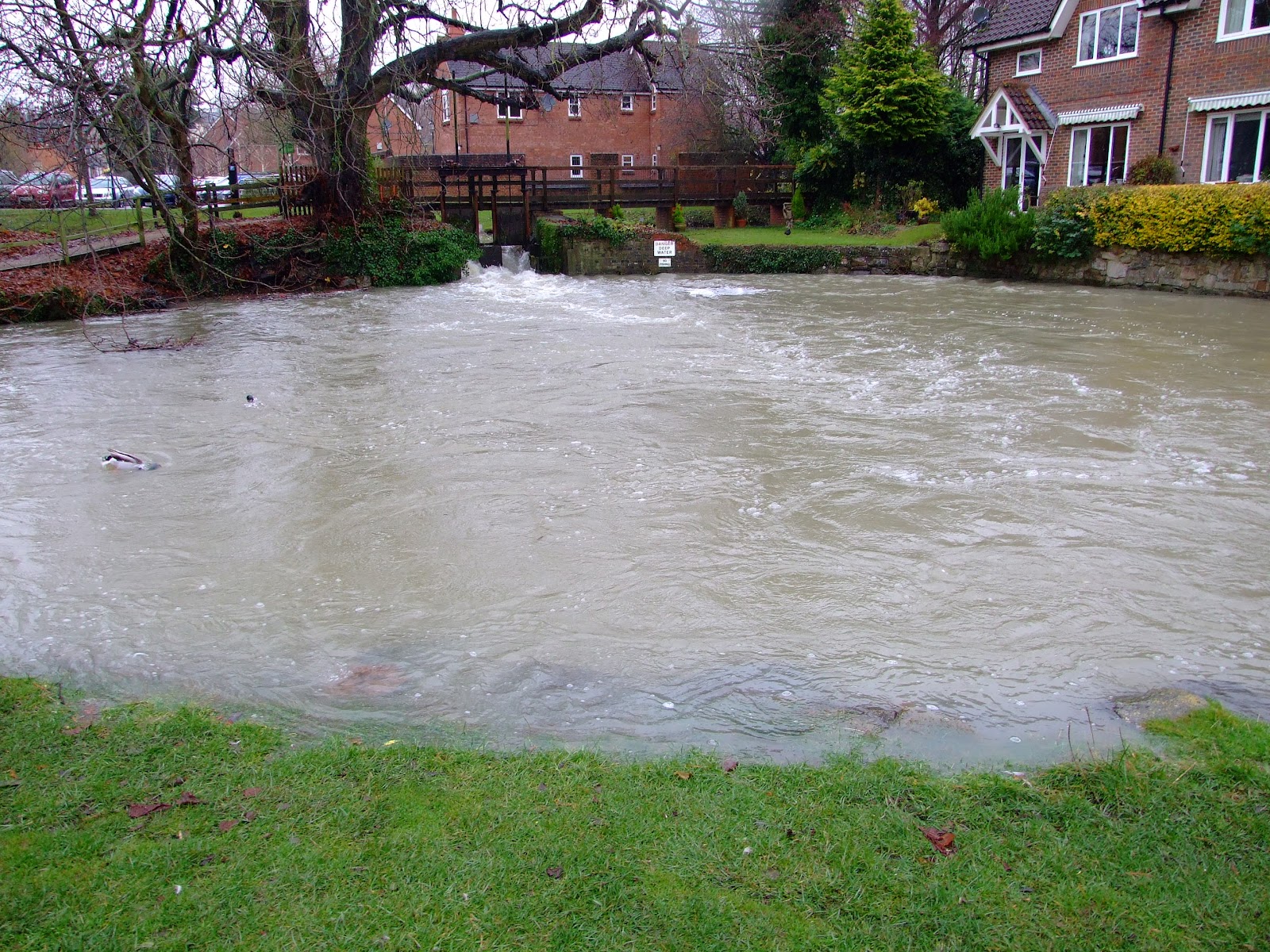
 Below Marlborough at Stitchcombe, locals are anticipating that the current levels flowing through the sluice weir...
 ...will raise the weir pool river to a height that may breach property (note the wall in the extreme right in image)...
 ...and are preparing for the worst.
"The river and flooding forecast is as follows: River levels on the River Kennet have now fallen and the river remains in its banks in all locations. The river remains sensitive to further rainfall. This may cause the river to spill out into the floodplain. No property flooding is currently expected. The weather prospects are: There is further heavy rain forecast for Saturday afternoon through to the early hours of Sunday morning. The rest of Sunday will be mainly dry."
The view on the ground is somewhat different.