skip to main |
skip to sidebar
A quick recce along the Upper Kennet yesterday revealed that the river remains dry from the traditionally cited source at Swallowhead Spring for approximately 6km (3.8 miles) to beyond Lockeridge.
This stretch would not normally be deep enough for paddling outside extraordinary conditions, but there's not even the chance of getting your toes wet at the moment, despite the relatively wet preceding week.
Looking back 'upstream' from below the Gunsite Road bridge, April-2012.
Looking back upstream from the road bridge into East Kennett, April 2012.
Looking back upstream from below the bridge near East Kennett Manor, April 2012. This location (SU 119 676) was not pictured in the original list of locations from which the public can view the river in the Upper Kennet guide.
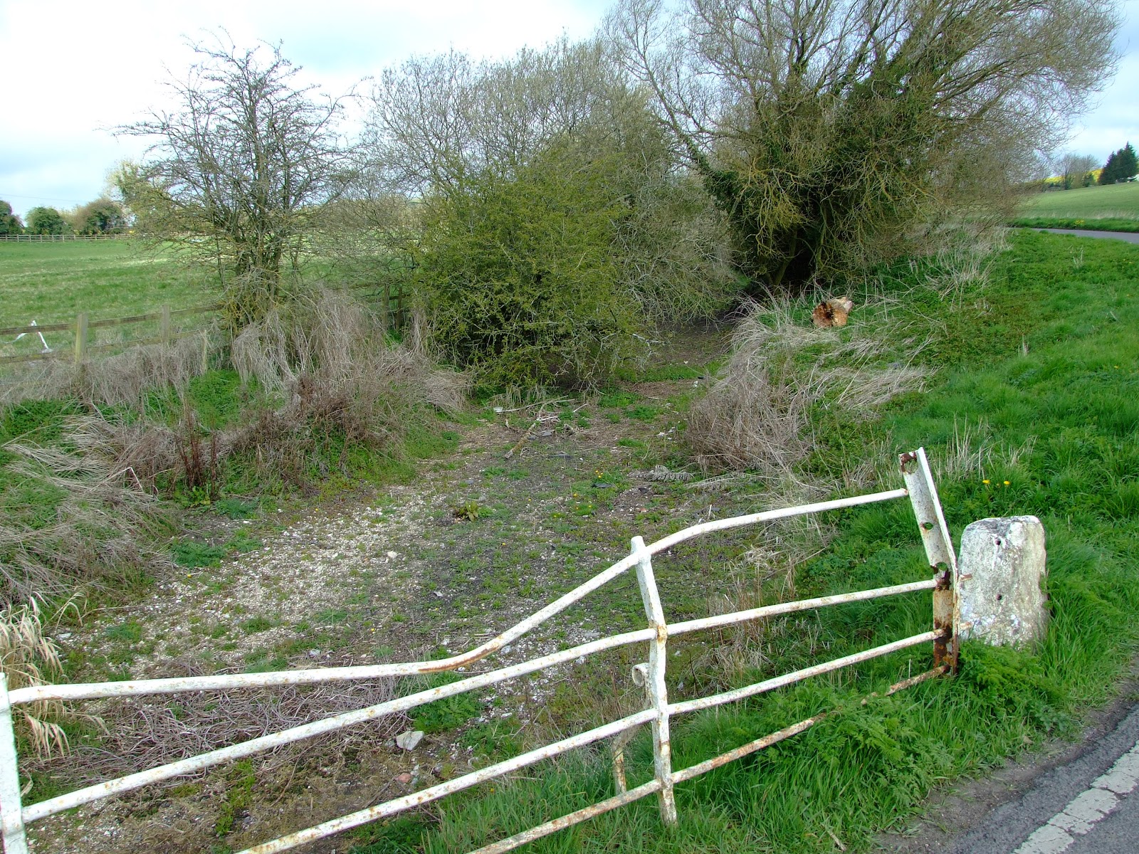
Looking downstream from above the footbridge at SU 125 680. This spot was omitted in the original list of locations from which the public can view the river in the Upper Kennet guide. Just walk down Frog Lane in Overton, heading north towards the A4.
As the river bed exits Lockeridge House the watercourse is currently dry...
...but talking to a local lady resident I was assured water was flowing just a few hundred meters downstream. She was, of course, correct, but what might look like a reasonable seasonal flow is actually an almost stagnant trickle. The upper River Kennet is in serious trouble.
One of the more visible objectors to canoeing and kayaking on the River Kennet has put its fisheries up for sale.
In a statement dated 19 March 2012 CEMEX UK Operations Ltd said
"A difficult decision has been made to put CEMEX Angling up for sale. As part of the regular and on-going business reviews, we have decided that Angling is not core to our operations and in the current economic climate we have limited resources and capital to develop the business in the future."
CEMEX Angling claims to offer 90 venues for fishermen, including 20 stretches of river, and the Angling Trust are worried that these could now be lost to angling. In a press release on the 5 April 2012 the AT National Campaigns Co-ordinator, Martin Salter added "it is important that we pull together, and if necessary pool resources, to see off any bids from organisations that would exclude angling as future activity on these iconic venues.”
This is a deeply ironic statement given CEMEX's attitude towards the exclusion of other river users on stretches of river where they own the fishing rights.
As previously reported CEMEX has installed a number of signs along the riverine stretch of the River Kennet where it runs down from Southcote Weir proclaiming "NO CANOEISTS".
"Burghfield River", as CEMEX call the section at Southcote, is regarded by them as a Gold Venue, which means they restrict the membership and only allow two rods at a time here. This is probably a good thing as the local wildlife already has to contend with enough angling debris on this beat, although to be fair to the fisherfolk, I'm sure they don't intentionally discard expensive tackle; poor riparian management of tree falls here doesn't make casting easy.
Always carry a safety knife when paddling. Extremely useful when removing snagged tackle. This line, feeder, hooks and maggots (which were quickly dispatched after getting home only to find they'd warmed up and started moving on the hooks) was removed from an overhanging branch on the CEMEX "Burghfield River" beat (you can just make out the back of their sign downstream on the right bank) in January 2012.
Hopefully the new owners of the fishing rights on this part of the River Kennet will take a more progressive stance on sharing the waterway for the benefit of all.
Long term and ongoing concerns over the unsustainable abstraction of water from the River Kennet were once again highlighted in the BBC Panorama programme Drinking Our Rivers Dry, first shown in September 2011 (and still available to watch on the BBC iPlayer for another five months).
By October local Kennet MP's Clare Perry and Richard Benyon (the Waterways Minister) were walking on dry river bed sections, and by November it had dried up almost completely above Marlborough leading to the reported deaths of thousands of fish, at the same time as this blog reported of the temporary closure of long sections of the Kennet and Avon Canal.
Politicians continued to descend on the Upper Kennet through into January 2012 (Martin Salter is not a MP by the way), and on the 28 March DEFRA launched its “Love Your River” campaign "that aims to highlight the link between river health and water use, so that people understand and value water and take action to improve their local rivers and the environment around them."
However, rather than a 'Big Society' appeal to individual citizens to save water (there's nothing wrong with doing so, but it's not going to be enough on its own), the Government could actively investigate a legislative repeal of the regulations that require the Environment Agency to compensate Thames Water if their abstraction from the Axford boreholes were to be curtailed or ended.
With the South and East of England officially suffering from drought conditions, governmental prevarication now (see criticism by the WWF here) will condemn the River Kennet to possibly irretrievable damage.
The Upper River Kennet looking upstream at George Bridge in early January 2009, mid-December 2009, and mid-January 2010.
The Upper River Kennet looking upstream at George Bridge as late as mid-June 2010, and carpeted with ranunculus at the end of April 2011.
Upsteam and downstream of George Bridge on the Upper River Kennet yesterday, 06 April 2012.
 Looking back 'upstream' from below the Gunsite Road bridge, April-2012.
 Looking back upstream from the road bridge into East Kennett, April 2012.
 Looking back upstream from below the bridge near East Kennett Manor, April 2012. This location (SU 119 676) was not pictured in the original list of locations from which the public can view the river in the Upper Kennet guide.
 Looking downstream from above the footbridge at SU 125 680. This spot was omitted in the original list of locations from which the public can view the river in the Upper Kennet guide. Just walk down Frog Lane in Overton, heading north towards the A4.
 As the river bed exits Lockeridge House the watercourse is currently dry...
  ...but talking to a local lady resident I was assured water was flowing just a few hundred meters downstream. She was, of course, correct, but what might look like a reasonable seasonal flow is actually an almost stagnant trickle. The upper River Kennet is in serious trouble.